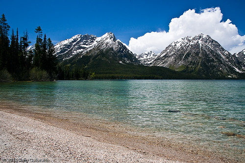
Aah, the Gros Ventres. This wild country is unknown to most tourists, but a beauty to the people that know it. It's massive peaks and glaciated basins rival anything in the Tetons. The only thing they lack to compare is the stunning view from the highway, therefore making them less accessible. Good for us locals, right?
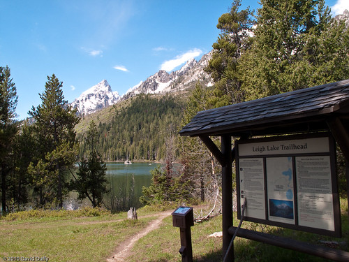
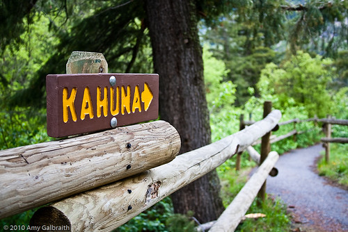
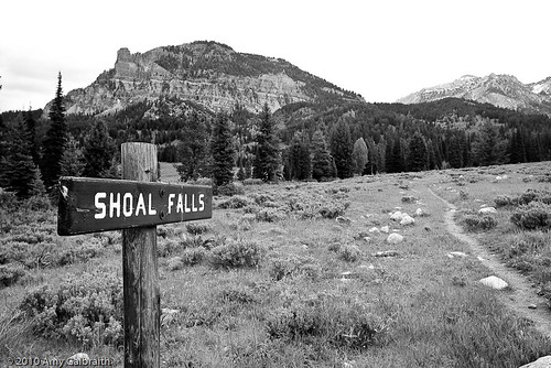
David and I planned a weekend trip into the Gros Ventres. The planned route was to take the Swift Creek trail up to the base of Antoinette Peak and then to loop around to camp near Shoal Falls. According to Trails.com, the round trip was 12 miles. Not too bad in my opinion. The trail description also said that from the falls to the parking lot was a six mile hike so I assumed it was six miles in as well...The trail began from a ghetto parking circle just off of the road out to Granite Hot Springs. After driving down eight miles of crappy potholed road to get to said parking circle, I knew that this was definitely going to be more of an adventure than anything in Teton National Park that I'd seen so far. As we approached the trailhead for Swift Creek, I noticed a sign that said Shoal Falls with an arrow. That would be our return trail! The Swift Creek trail was just ahead.

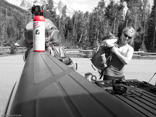
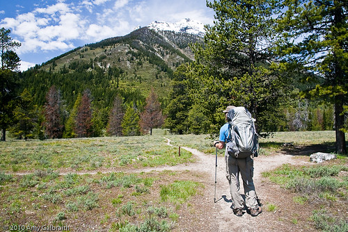
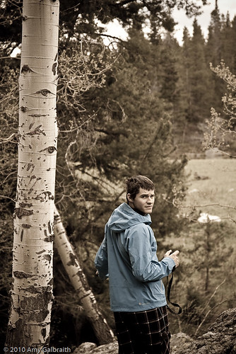
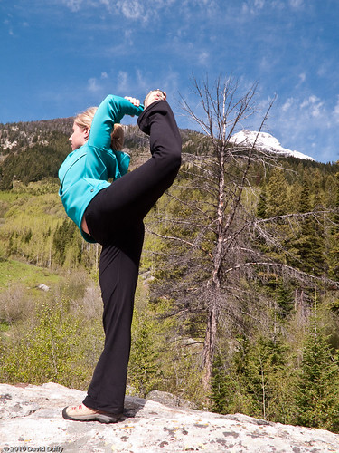
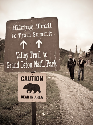
Getting ready to hike.
Getting ready to hike.
The unfortunate part of this particular trailhead was that there were two other trail sbranching out from the main sign. We veered onto the fainter one on the right, because that's what the trail guide said. Instantly we wondered if we were even on the right trail. That thought would remain in our minds until we got home and looked at a real topo map.
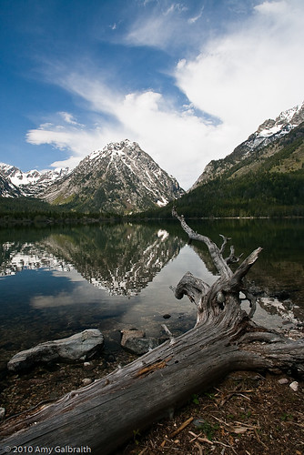
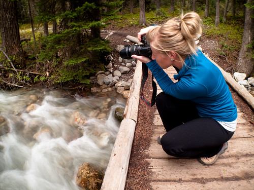
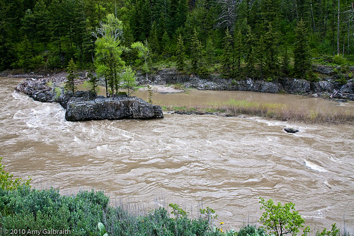
The trail followed the edges of Swift Creek. The water was rushing and wildflowers were starting to pop up in the meadows all around us. We even found a bird's nest with baby robins in it!
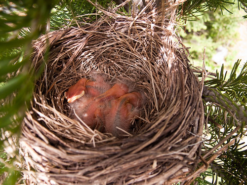
Baby robins. Photo by David Duffy.
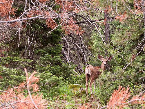
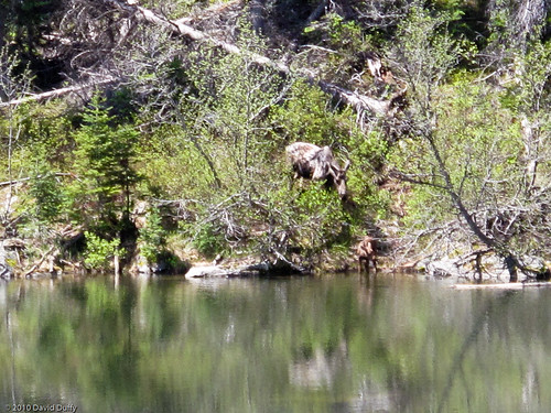
A curious young buck. Photo by David Duffy.
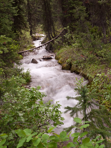
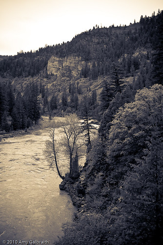
Swift Creek. Photo by David Duffy.
Baby robins. Photo by David Duffy.
A curious young buck. Photo by David Duffy.
Swift Creek. Photo by David Duffy.
Eventually we started to lose the trail completely. It appeared as if it had been washed out by the creek. David decided to cross the river and explore on the other side. Sure enough, there was a sign that said "Trail --->" indicating that people needed to cross the creek. The unfortunate part was that this sign was for the people returning from the upper part of the hike. Where was the sign telling us where to go?? I found out later that it's fairly typical for the Gros Ventres to have a disorganized trail system...great.
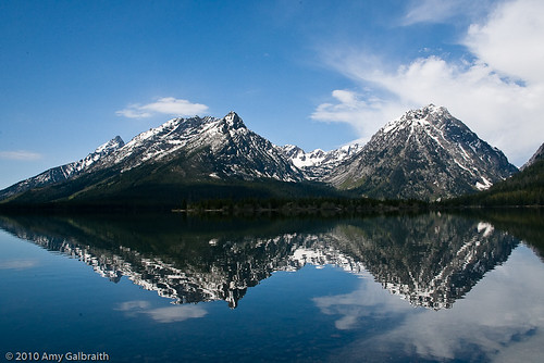
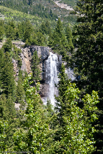
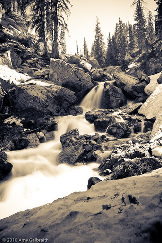
We ambled along the trail some more and then started vigorously climbing. This hill was relentless. We switchbacked up through the large valley between 11,407 ft. Antoinette Peak and Corner Peak. As I was hiking I a caught a glimpse of some pretty stunning waterfalls. All I could wonder is, "If these falls look like this, what to Shoal Falls look like?" A beautiful sight.
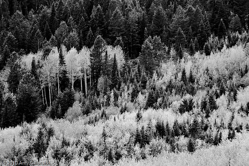
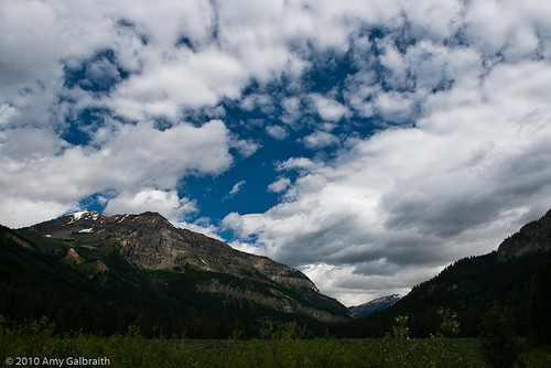
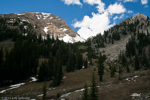
We climbed further and further up the trail, passing some very scenic sights along the way. The scree fields of Corner Peak and the sheer faces of Antoinette Peak were absolutely breathtaking.

Corner Peak.
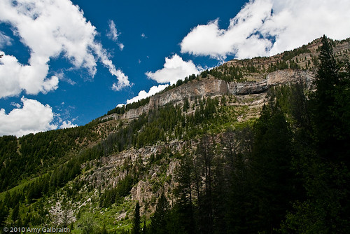
Antoinette Peak.
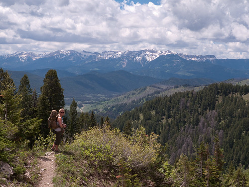
We've gained mucho elevation. Down there is the road we drove in on. Photo by David Duffy.
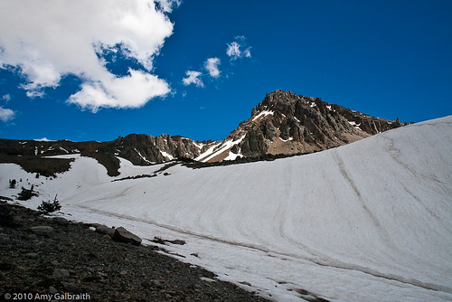
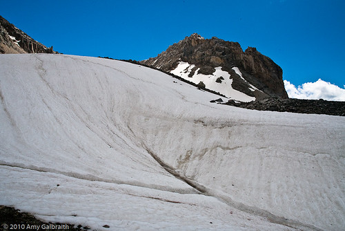
After what seemed like endless climbing and a quick lunch later, we reached snow. At first it only covered parts of the trail and it was easy to navigate around or just walk through. Eventually it became impassable. We had come upon a very large basin that reminded me of the approaches to Mount Daniel that we climbed in Washington last year. We followed what looked like trail for a bit, but eventually ended up turning around. We were both so exhausted from the climbing and had been hiking for four hours by now. It was time to find a place to camp, regrettably not at Shoal Falls.

Invisible trail = time to turn around.
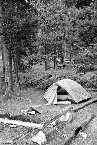
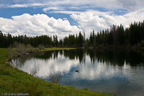
We descended back into a pretty little basin that we had spotted on the way up. Although it wasn't where we intended to go, it was still beautiful and we were able to set up our tent right next to a rushing creek.
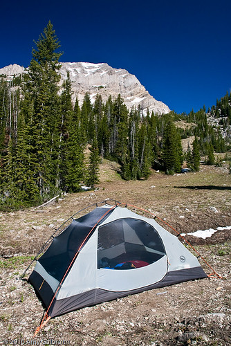


Corner Peak from our campsite.
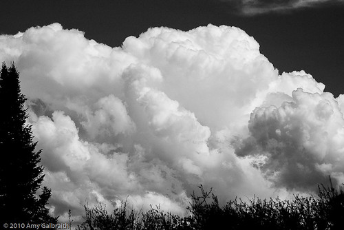
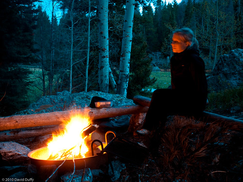
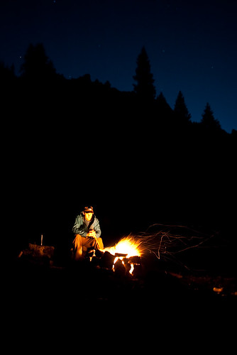
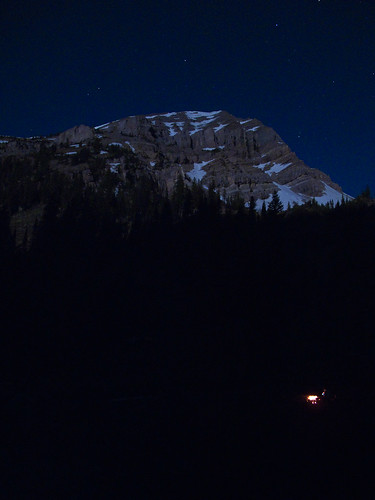
That night was spent doing what is done best in the wilderness: Building a fire, eating all of those lost calories, and quenching our thirst with some adult beverages. What was even more amazing was that it was a full moon that night. We eagerly waited for the moon to rise over the jagged crags of Corner Peak and eventually it blinded us with it's brightness. It was so bright at one point I felt like it was daytime. I can't think of a better place to be than in the backcountry on the night of a full moon.

The moon is about to rise over that ridge.

Our fire is so small in the shadow of Antoinette. Photo by David Duffy.
The next day, we began the trek back to the parking area. We were so eager to look at a map and see if we were even in the right spot the whole time. We went over to my friend Alex's ranch for the afternoon to BBQ and enjoy the sunshine. He just happens to have topo maps of the entire Wyoming/Idaho/Montana area. We found the map for our area and sure enough, we were on the right track. To continue would have meant that we climbed another who-knows-how-many feet up to the very base of Antoinette Peak. Then we would have dropped over that pass into the Crystal Creek area and continued on the trail to the falls. So much for 12 miles, is all I have to say.
Regardless of the confusion experienced on this trip, I have to say that I much prefer the solitude experienced in the Gros Ventres. The drive isn't far, and you get to weed out all of the tourists hiking in flip-flops and loafers. We will return to the Gros Ventres.